
Himalayan Floods Expose South Asian Transboundary Early Warning Deficits
Recent catastrophic floods in Nepal have exposed critical gaps in South Asian transboundary early warning systems, threatening regional energy integration, cross-border transit, and agricultural supply chains amid geopolitical hesitation over water data sharing.
Geopolitical & Core Developments
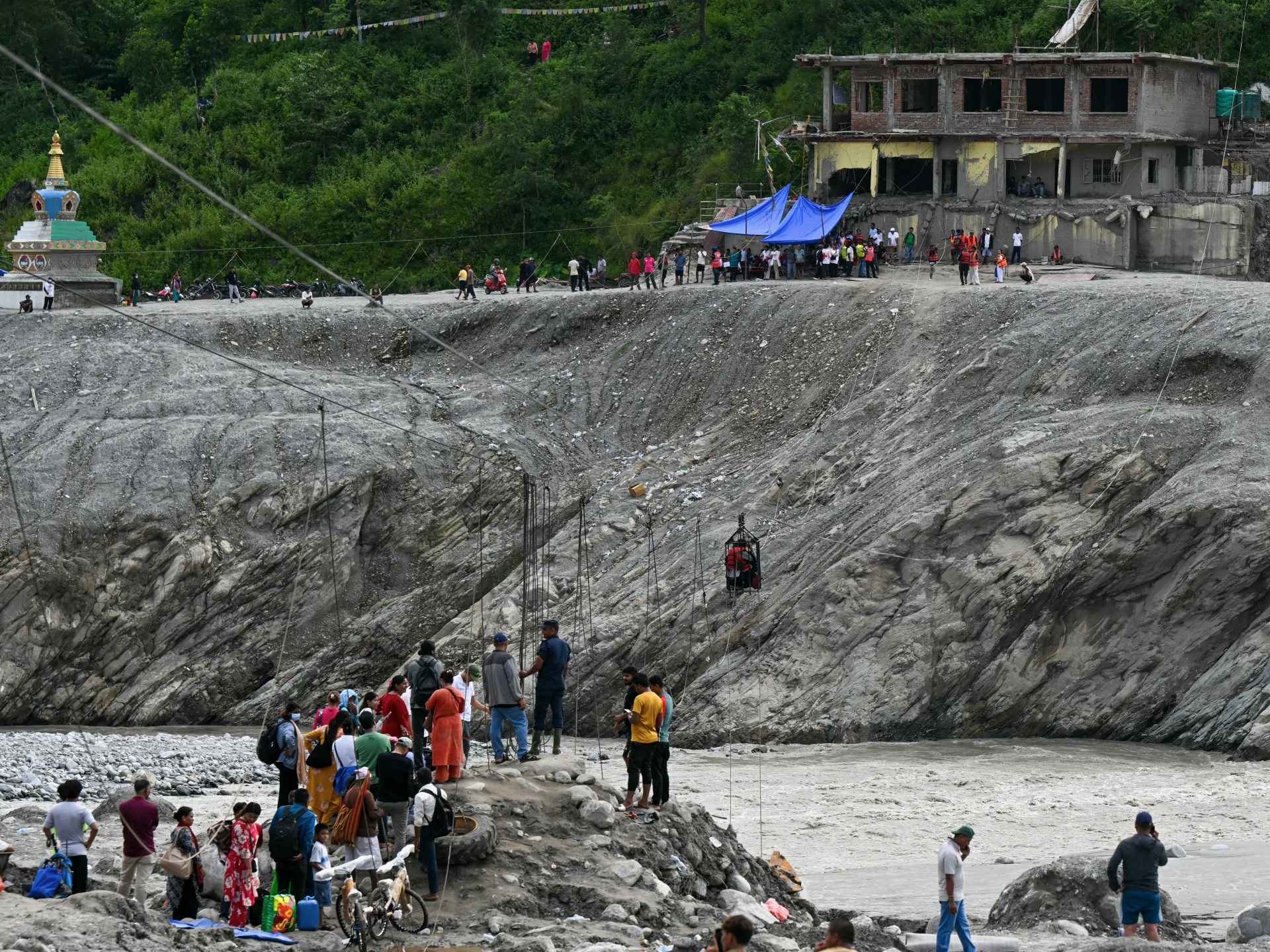
Recent catastrophic floods and landslides sweeping across Nepal have exposed dangerous geopolitical fault lines in South Asia's transboundary disaster preparedness. The Hindu Kush Himalayan mountain system, which feeds major transboundary river basins including the Koshi, Gandaki, and Karnali flowing into India's Ganges basin, remains structurally vulnerable to glacial lake outburst floods (GLOFs) and extreme monsoon events. Despite the shared hydrological architecture connecting China, Nepal, India, and Bangladesh, regional coordination remains paralyzed by strategic mistrust. Upstream hydrological data collection in Chinese-administered Tibet and midstream monitoring in Nepal often fail to translate into rapid, institutionalized alerts for downstream Indian communities. While bilateral agreements exist on paper, bureaucratic inertia and national security sensitivities surrounding water infrastructure continue to impede real-time data exchange. Consequently, recurring hydrological shocks destabilize border territories and strain trilateral diplomatic ties across the Himalayas.
Global Trade & Economic Ripples
Beyond localized humanitarian loss, cross-border water volatility poses immediate threats to regional supply chains, energy markets, and international development finance. Nepal's nascent position as a clean power exporter under regional trilateral energy deals involving India and Bangladesh faces structural headwinds as run-of-the-river hydropower facilities suffer chronic sedimentation and physical damage. Critical overland transit corridors, such as the Tatopani-Zangmu and Rasuwagadhi border crossings facilitating Sino-Nepalese freight, frequently face prolonged closures, redirecting trade flows and driving up freight tariffs. Downstream, sudden uncontrolled discharges and breached embankments regularly inundate millions of hectares of arable land in northern India, disrupting regional rice and sugarcane yields, elevating domestic food inflation, and destabilizing agricultural export balances. International financiers, including the Asian Development Bank and the World Bank, are increasingly compelled to revise capital risk models and contingency buffers for multibillion-dollar Himalayan infrastructure projects.
Related Intelligence: Escalating Yemen Clashes Threaten Red Sea Stability and Energy Markets
International Reactions & Diplomatic Stances
Multilateral institutions and regional scientific bodies have sounded alarms over the operational void. The United Nations Office for Disaster Risk Reduction (UNDRR) and the World Meteorological Organization (WMO) have reiterated the imperative of their Early Warnings for All initiative, emphasizing that climate-vulnerable riparian nations must bypass territorial competition to establish shared telemetry networks. The Kathmandu-based International Centre for Integrated Mountain Development (ICIMOD) noted that glacial retreat has reached unprecedented rates, rendering traditional downstream risk forecasting obsolete without continuous cross-border satellite and sensor feeds. In New Delhi and Kathmandu, technical flood management committees have faced domestic criticism from civil society and regional policymakers for outdated communication protocols. While Chinese authorities have occasionally shared seasonal data for specific cross-border tributaries, analysts and international diplomats maintain that episodic exchanges fall short of standard, legally binding real-time data covenants.
Strategic Outlook & Future Scenarios
The trajectory of Himalayan disaster risk management will directly track the geopolitical evolution of South Asian diplomacy. As climate change accelerates glacial destabilization, unilateral water monitoring will become increasingly unviable. Forward projections point to two distinct trajectories. In the first scenario, sustained loss of life and commercial damage could catalyze functional climate diplomacy, utilizing platforms like the Bay of Bengal Initiative for Multi-Sectoral Technical and Economic Cooperation (BIMSTEC) to institutionalize open-source transboundary hydrological networks. In the second, more contentious scenario, persistent Indo-Chinese strategic rivalry and bilateral posturing will continue to treat hydrological and meteorological data as state secrets, preventing downstream early warning systems from operating effectively. Without institutionalized data-sharing compacts ahead of upcoming regional climate forums and multilateral summits, the Himalayas will remain an unmitigated transboundary hazard zone.
Join Our Official WhatsApp Channel
Receive live commodity alerts, policy changes, and commercial intelligence directly on WhatsApp.